
Geography

Location & Size
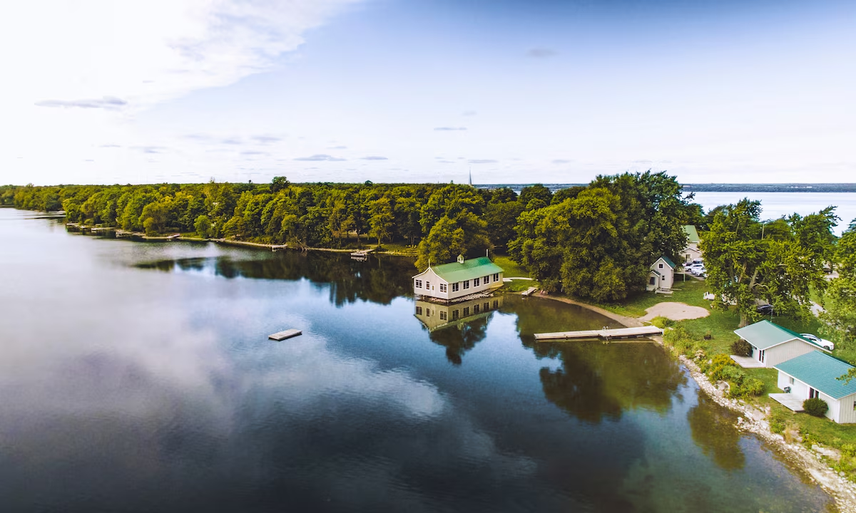
Wellers Bay is located in Prince Edward County, Ontario, on the north shore of Lake Ontario. The bay stretches approximately 8 kilometres from north to south and varies in width from 1 to 5 kilometres.
Total surface area: approximately 18+ square kilometres
Perimeter: varies, but substantial given the bay's complex shoreline
Coordinates: approximately 43.9°N, 77.7°W
The Sand Spit
Lorem ipsum dolor sit amet, consectetur adipiscing elit. Suspendisse varius enim in eros elementum tristique. Duis cursus, mi quis viverra ornare, eros dolor interdum nulla, ut commodo diam libero vitae erat.

Water Depth & Bathymetry
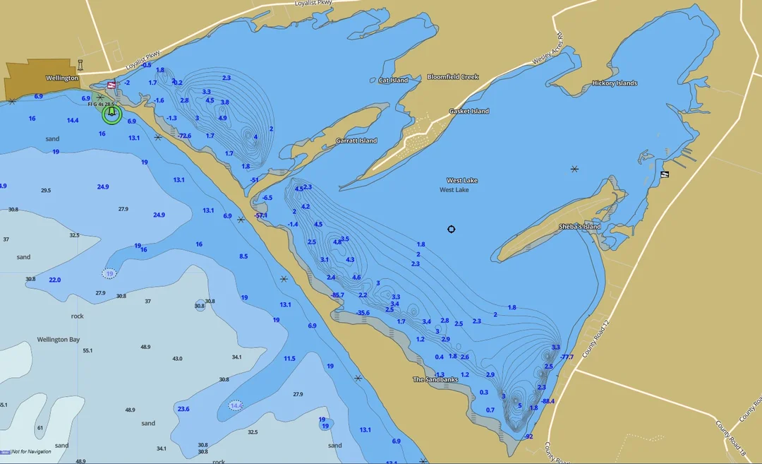
Average depth: 2.8 metres (9.1 feet)
Deepest areas: up to 8+ metres in the main channels
Shallowest areas: less than 1 metre near shores and marshes
The bay's bottom topography is complex, with distinct channels, deeper basins, and shallow areas. This variation creates diverse microhabitats supporting different fish and aquatic plant communities.
Currents & Water Movement
Water movement in Wellers Bay is influenced by wind, seasonal temperature changes, and exchange with Lake Ontario through the channels and over the sand spit. The hourglass shape of the bay creates distinct zones with different water characteristics, temperature regimes, and ecological communities.
Geology & Surrounding Landscape
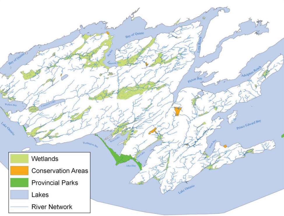
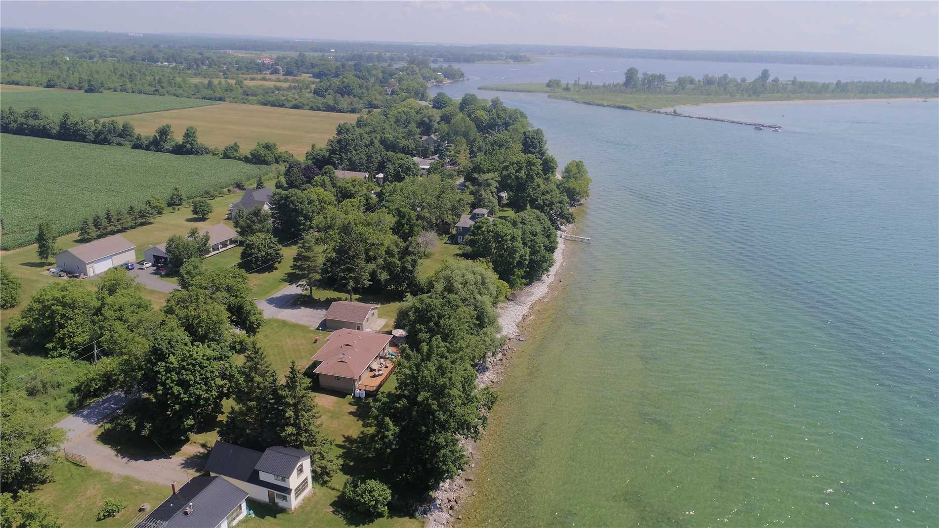
The surrounding landscape is characteristic of the Prince Edward County drumlin field. The region's geology, shaped by glaciation, influences soil types, groundwater, and the streams and wetlands that feed into Wellers Bay. The interplay between upland geology and coastal geography creates the diverse habitats surrounding the bay.
Ready to make a difference?
Whether you want to volunteer, join as a member, make a donation, or simply stay informed, there's a way for you to be part of this community.